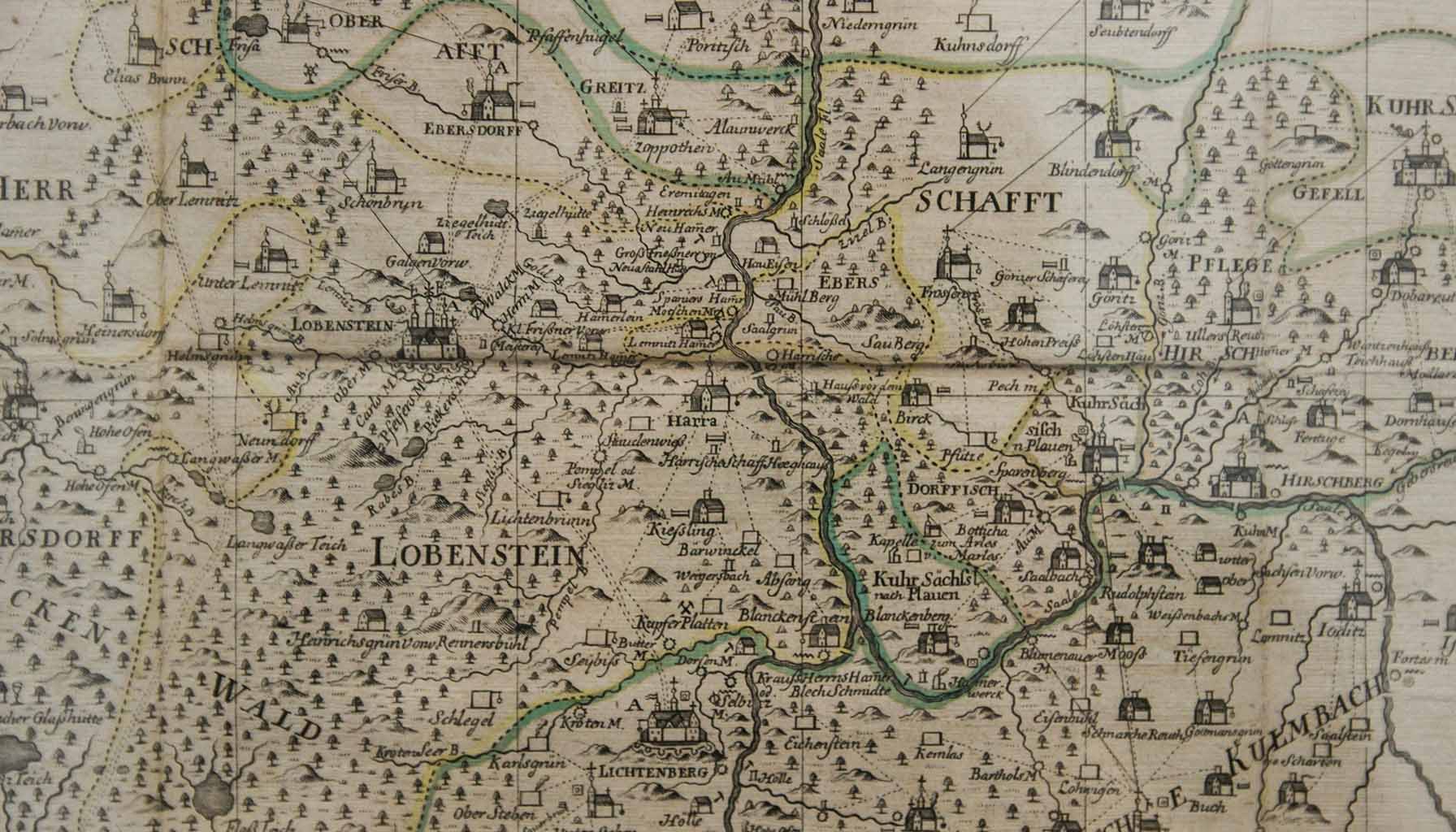
The allure of ancient maps extends far beyond their practical use as tools for navigation. These artifacts, etched in stone, drawn on papyrus, or painstakingly inscribed on parchment, serve as vivid windows into the perspectives, knowledge, and myths of ancient cultures. They embody a unique blend of art and science, a testament to humanity’s enduring quest to understand and depict the world. Through their lines, symbols, and illustrations, ancient cartographers not only sought to guide explorers across unknown terrains but also to encapsulate the beliefs, astronomical observations, and geographical theories of their time.
Intriguingly, the artistic aspect of these maps often reveals more about the creators and their societies than the geographical accuracy of the renderings. The inclusion of mythical creatures like sea monsters in the oceans, or the depiction of unexplored lands filled with fantastical elements, speaks volumes about the human imagination and the cultural significance of the unknown. These features, while not scientifically accurate, add a layer of depth to our understanding of how ancient peoples viewed their world and their place within it. This fusion of factual geography with imaginative storytelling creates a rich tapestry that invites us into a deeper exploration of ancient civilizations and their conception of the earth.
As we delve into the art of ancient cartography, we uncover not just maps, but stories. Each line, each symbol, carries the weight of a civilization’s aspirations, fears, and understanding of the cosmos. It’s an exploration that transcends mere physical geography, inviting us to consider the philosophical and cultural dimensions of these creations. Here, the science of map-making intersects with the art of storytelling, offering us a unique perspective on the ancient world. This journey through the maps of yore is not just about discovering lands, but about unearthing the rich, complex narratives that shaped them.
The techniques and materials used by ancient cartographers were as diverse as the cultures from which they sprang. In Mesopotamia, clay tablets were the medium of choice, their durability ensuring that the maps inscribed upon them could withstand the test of time. The Greeks, on the other hand, favored papyrus, a lighter and more versatile material, though far less enduring than clay. Parchment, made from animal skin, became the preferred substrate in medieval Europe, prized for its longevity and the fine detail it allowed. The choice of material not only dictated the map’s durability and level of detail but also reflected the technological advances and resources available to the cartographers of the time.
Beyond the physical materials, the techniques and symbols used by ancient mapmakers to represent landscapes, landmarks, and mythical elements were equally telling. The Babylonians, for example, were known for their simple yet effective use of circles and triangles to denote cities and mountains, respectively. Greek cartographers like Anaximander introduced the concept of a cylindrical world map, reflecting their growing understanding of the earth’s shape. Medieval European maps were rich with symbolic imagery, from dragons and sea monsters representing the dangers of uncharted territories to elaborate border decorations that spoke of the mapmaker’s artistic flair.
These ancient maps also serve as a mirror to the geographical knowledge and worldviews of their times. For instance, the world map created by the Islamic scholar Al-Idrisi for the Sicilian king Roger II in the 12th century was remarkably accurate for its time, incorporating a wealth of information from Arab and European sources. It reflected not only the geographical knowledge of the era but also the cultural exchange and cooperation that characterized the period. In contrast, the Hereford Mappa Mundi, a medieval map of the world, places Jerusalem at its center, illustrating the map’s theological underpinnings and the Christian worldview of the Middle Ages.
Through these maps, we gain insight into how people of different eras and cultures understood their place in the world. They reveal not just the physical geography of the earth as it was known then but also the philosophical, religious, and cultural perspectives that influenced their creation. In this way, ancient cartography offers us a unique lens through which to view the past, one that is as much about the art of mapmaking as it is about the science of geography.
Reflecting on the journey from ancient cartography to the map-making practices of today, it becomes evident how these historical maps are not just fascinating artifacts, but also pivotal in our understanding of the evolution of human knowledge and the dynamic interplay between culture and science. The transition from maps that were as much about art and myth as they were about geography, to the precision-focused digital maps of our era, illustrates a broader narrative of human progress. It’s a testament to our unceasing quest to comprehend and document the world around us, employing whatever tools and knowledge are at our disposal.
This evolution also highlights the changing relationship between humanity and its environment. Where ancient maps often depicted the world as a place of mystery and danger, filled with mythical creatures and unknown territories, modern maps tend to emphasize connectivity and accessibility. Yet, despite these differences, both ancient and contemporary maps serve a common purpose: they are tools for understanding and interacting with the world. They reflect the values, needs, and technological capabilities of their creators, serving as a bridge between the past and present.
Moreover, the study of ancient cartography invites us to appreciate the intricate blend of science and art, fact and fiction, that characterizes human understanding at any given time. It reminds us that our current maps, with their satellite precision and digital interfaces, are but the latest chapter in a long story of mapping. This story is not just about the physical landscape, but about the human spirit’s desire to explore, understand, and connect with the wider universe. As we continue to advance technologically, who knows what the future holds for the art and science of mapmaking? Perhaps future generations will look back at our digital maps with the same fascination with which we study the maps of ancient civilizations.
